

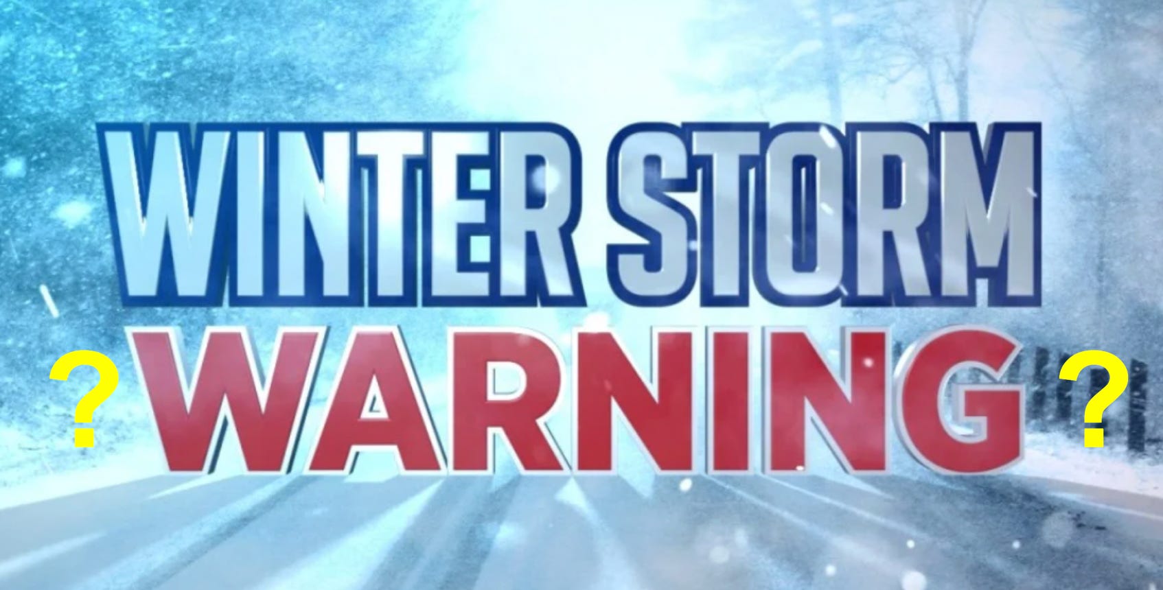
When The Media Scare-Cast Says 18" and You Get 2"- How to Read Weather Like an Expert
A simple three-step process will give you the most accurate forecast for your community.

When a winter storm warning on November 16-17, 2025, called for 18 inches or more of snow, many residents in Washington County braced for a blizzard. What they got instead was light snow or mixed precipitation, leading to a familiar frustration with weather “hype.”
This discrepancy was not a “forecast bust.” It was a classic, and predictable, demonstration of Vermont’s complex mountain meteorology.
The 18-inch forecast was, in fact, remarkably accurate for the specific areas it was intended for: the northwesterly slopes of the Green Mountains. At the same time, the “bust” observed in valleys like Montpelier was also meteorologically correct.
This “tale of two storms” reveals a gap between precise scientific forecasting and the broad public communication tools used to issue warnings. This article breaks down why this happens and provides a guide for any resident to read weather like an expert, moving beyond media hype to understand the true forecast.
The Case Study: A “Tale of Two Storms”
The November 17 storm perfectly illustrates how two vastly different weather events can occur just miles apart.
The “Jackpot” (Windward Slopes): The National Weather Service (NWS) forecast repeatedly specified that the highest totals—”10 to 16 inches” or more—were expected on the “northwesterly and westerly slopes” (NWS Burlington). This forecast verified spectacularly. Stowe Mountain Resort, on the northwestern slope of Mt. Mansfield, reported “10” of snow” in 24 hours, noting that the summit snow depth had set a new record for that date since 1954 (Stowe Mountain). Nearby Smugglers’ Notch reported 8 inches of new snow (Smugglers’ Notch Resort).
The “Bust” (Valleys and Leeward Slopes): For residents in Washington County, the reality was completely different. Archived weather for Montpelier confirms conditions of “Light snow” or “MIX PCPN” (mixed precipitation) with temperatures around 28°F (Time and Date, NWS Observations). This was also correctly predicted, but in a different NWS product. The “point forecast” for low-lying Burlington called for only “Scattered snow showers, mainly before 8am” and the technical discussion predicted just “a trace to three inches” for the valleys (NWS Forecast, Area Forecast Discussion).
The confusion arose because the Winter Storm Warning—a broad public safety alert—was issued for all of Washington County, a zone that includes both the low-lying capital and the high-elevation peaks of the Green Mountains (NWS).
The Culprit: Why the Mountain is a Weather-Maker
In Vermont, topography doesn’t just influence the weather—it manufactures it. The state is a landscape of microclimates where weather can change dramatically valley by valley (UVM). This is driven by two key processes.
1. The Green Mountain Snow Engine (Orographic Lift)
The Green Mountains are oriented north-to-south, creating a massive barrier to the prevailing westerly and northwesterly winds. When this moist air hits the mountains, it is forced to rise.
This process, known as orographic lifting, is a powerful snow-producer (Wikipedia). As the air rises, it cools, and its moisture condenses into heavy clouds and precipitation. This is the primary reason Vermont’s ski resorts are built on these windward slopes and why seasonal snowfall can range from 70 inches in the valleys to over 200 inches on the peaks (Outside Vermont).
2. The “Snow Shadow” (Downsloping)
This directly explains the “bust” in Washington County. Most of the county, including Montpelier, lies east of the main mountain crest. In a northwesterly wind, this places the region on the leeward or “downslope” side.
Here, the exact opposite of orographic lift occurs. This is the “snow shadow” (SnowBrains).
The air, having already dumped its moisture on the western slopes, sinks as it descends the eastern side.
As the air descends, it gets compressed, which causes it to warm up and dry out.
This actively suppresses precipitation and evaporates existing clouds.
Therefore, residents in Montpelier weren’t just “missed” by the storm; their local topography was actively destroying the storm in their specific area. It’s important to note this is entirely dependent on wind direction. In a classic Nor’easter with an easterly wind, Washington County is no longer in the shadow and can be hit by intense, localized “mesoscale bands” of snow (NWS).
Deconstructing the “Scare-Cast”
If the science is this specific, why do the public warnings feel so broad and alarming? This is a breakdown in communication, driven by public safety protocols and media economics.
The Public Safety Conundrum: The NWS issues warnings for “zones,” which are often based on county lines (Reddit). A Winter Storm Warning is issued for the entire zone if any part of it faces a significant hazard (NWS). Because the western mountains of Washington County were facing a dangerous, high-impact event, the NWS was obligated to include the entire county in the warning for public safety. For valley residents, this creates an understandable “false alarm.”
The Economics of Hype: Commercial and social media, driven by engagement, often amplify the single “worst-case” number (e.g., “18 inches”) without the critical context (e.g., “only on the slopes”) (CBS News). As one analysis notes, news organizations may get higher ratings by “scaring people with apocalyptic forecasts” (Character and Leadership).
The “Cry Wolf” Effect: The real danger of this hype is “warning fatigue” (APA). When residents are repeatedly over-warned for events that don’t materialize in their specific location, they may be less likely to take the next warning seriously—even if that warning is for a very real threat.
The Informed Citizen’s Protocol: How to Read Weather Like an Expert
The solution to “scare-casts” is to stop consuming media-filtered weather and learn to access the same expert-level products that forecasters use. This is the best way to be properly informed.
Here is a simple, three-step protocol for every storm.
Step 1: Get Your Point Forecast
Never trust a county-level summary again. Go directly to the National Weather Service website (Weather.gov) and enter your ZIP code or click your specific location on the map. This provides a forecast for a 2.5-kilometer grid square, not the entire county (NOAA). This is why the “point forecast” for Burlington correctly called for flurries while the county warning warned of a blizzard.
Step 2: Decode the “Scare-Cast” with Probabilistic Maps
This is the most critical skill. On your local NWS office website (e.g., weather.gov/btv), find the “Winter Weather” page to see the probabilistic forecasts. Instead of one number, these maps show you the range of possibilities (NWS).
Look for three key numbers:
“Low End Amount” (90% Chance of More): This is the “safe” number. It will almost certainly snow at least this much. This is the minimum you should plan for.
“Expected Snowfall” (Official Forecast): This is the forecaster’s “most likely” outcome.
“High End Amount” (10% Chance of More): This is the “scare-cast” number. This is the unlikely, 1-in-10 worst-case scenario that media outlets often report as a certainty. By seeing this number in its proper context, you can immediately put the hype into perspective.
Step 3: Read the Forecaster’s “Lab Notes”
The single best “hyperbole-free” source is the Area Forecast Discussion (AFD), found on the same NWS website (NWS AFD). This is the daily note written by meteorologists for other experts, explaining their scientific reasoning, their confidence level, and any limiting factors.
This is the only place the public could have read the forecaster’s own words on November 17: “A notable lack of moisture... with dry layers... may limit us from reaching our full snowfall potential today.” This single sentence explained the entire “bust” in the valleys before it even happened.
What Happens Next
The next time a major storm approaches Vermont, the “scare-cast” cycle will almost certainly begin again. A high-end number will be amplified on social media and local news, causing widespread alarm.
The difference, for the informed resident, is having the tools to see through it.
Instead of relying on a single, alarming number, residents can now use this three-step protocol:
Check the hyper-local point forecast for your ZIP code.
Check the probabilistic maps to understand the full range of possibilities, from the “safe” low-end number to the “scare-cast” high-end number.
Read the Area Forecast Discussion to understand the forecaster’s scientific reasoning and confidence.
This five-minute process provides more clarity and nuance than hours of media coverage. It empowers residents to move beyond passive anxiety, understand the true and complex nature of Vermont’s weather, and make informed decisions for their own safety.