


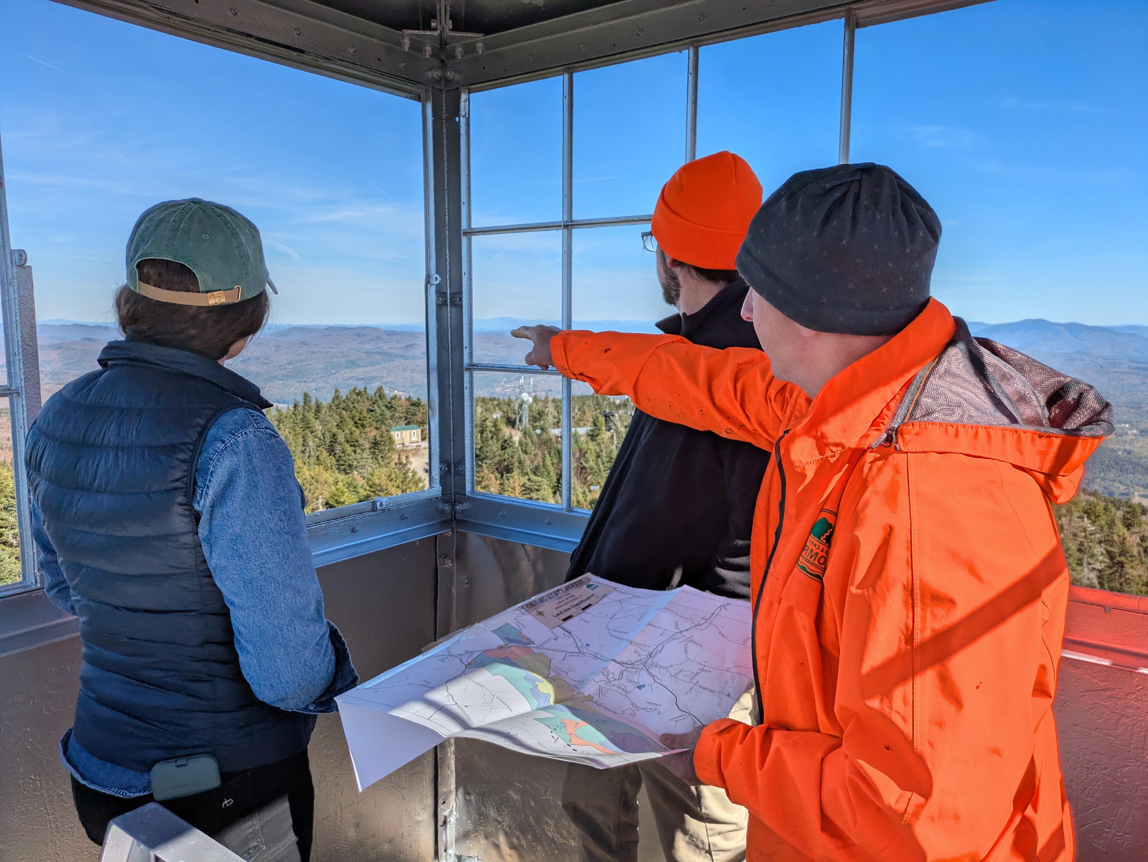
How to read the plan, send a comment and get to the Nov. 9 meeting, which has a new location, is in the box at the bottom of this story.
To replace dying ash and beech and grow young forest for wildlife, the state expects to cut timber on about a third of Okemo State Forest over the next 20 years, roughly 2,600 acres. The work would include thinning and other partial cuts, which take some trees and leave the rest, along with small patch clearcuts. That is more of the forest than the state has logged since 1962.
The draft long-range management plan covers the 7,983-acre forest in Ludlow, Mount Holly, Andover and Weston. It is the forest’s first full plan since 1990. The Agency of Natural Resources is taking public comments through Dec. 10.
The plan maps larger areas than it expects to cut, and it gives different numbers for them. The areas it lists for management add up to about 3,750 acres, nearly half the forest. Another section puts the figure at about 3,580 acres, or 45%. The plan expects the actual harvest to come out closer to a third of the forest once wetlands, steep ground and other areas are left out.
There is no exact count. Brackin said harvest areas get “further refined through on-the-ground, site-specific analysis that often results in smaller harvest areas than what is reflected in the [long-range management plan].”
Why the State Wants to Cut More
The plan says sugar maple, the forest’s most common tree, is in generally good health. The problems are with other trees and with a shortage of young forest:
Most ash is expected to die. Emerald ash borer, an invasive beetle that kills ash trees, is already killing ash near the forest. The plan expects most of Okemo’s ash to be infested and dead within about 10 years. It puts stands with ash near the front of the schedule, to harvest the trees before they die and before dead trees threaten people on trails.
Most beech is dead or declining. Beech bark disease has killed most of the older beech, including stands bears relied on for beechnuts. In one area the plan says “food sources have not naturally replaced.” Healthy beech will be kept. Foresters want to grow black cherry, blackberry, pin cherry and red oak where the beech has died.
Young forest is scarce. Most stands grew back together after clearcuts 80 to 100 years ago. A 2014 Audubon Vermont assessment found young forest on about 1% of the property. Grouse, snowshoe hare and many songbirds need young forest.
To create young forest, the plan sets a target of 400 acres of patch clearcuts over 20 years. These openings would range from half an acre to 10 acres depending on the type of forest, with some trees left standing for seed and wildlife. The state has made about 30 patch clearcuts since 1992.
Money from timber sales goes to conservation projects on state land across Vermont.
What Stays Off Limits
The plan bars timber harvesting on 1,838 acres, nearly a quarter of the forest, and lets those areas grow old. That includes the 798-acre Terrible Mountain Natural Area, the high ridges and upper slopes, and Buttermilk Falls. The plan calls for no timber harvest along the Okemo Mountain Road. On the west slopes of Okemo and Terrible mountains, which the plan rates as high scenic value, it calls for cutting methods that keep visible changes to the treetops to a minimum.
The Ski Area
Vail Resorts, which bought Okemo Mountain Resort in 2018, leases 1,223 acres of the state forest for the ski area. The current lease term runs through December 2033, according to Vail’s latest annual report. Two 10-year renewal options would carry it to 2053. The draft does not expand the ski area. Okemo paid the state about $1 million in lease fees in 2024 and $955,000 in 2025, money that goes to the State Parks system.
What Changes for People Who Use the Forest
The plan says its target dates are preliminary and depend on funding and staff.
Buttermilk Falls: The falls averaged 144 vehicles a day in July and August 2021, parked along the town road. The plan calls for an off-street lot big enough for 90% of peak traffic, with roadside parking ended except for accessibility and emergency needs. It also calls for a single rebuilt trail to all three falls, to replace the eroding side paths. The work is targeted for 2027 to 2032.
Okemo Mountain Road: The 3.2-mile road is free to drive and carried 27,237 vehicles from August through October 2023, close to 300 a day. Repaving is estimated at $3.5 million to $6 million, with a target of 2027 to 2032. Brackin said funding for road improvements is “typically sourced through State Capital appropriations,” meaning the capital budget the Legislature approves.
The summit: A new parking area and connecting trail would give hikers a route to the fire tower that avoids the resort work road.
Trailheads: The plan would develop or improve up to four access points with small parking lots, off Route 100, Route 155, Felton Road and Dorman Road.
Hunters: The state is considering a gate on Government Road in Mount Holly that would open more of the road to hunters in the fall.
Snowmobilers: Homeowners now legally plow part of Government Road, which is also Corridor Trail 7 of the Vermont Association of Snow Travelers. The plan includes looking for a reroute, as the snowmobile association has asked.
Hikers on the Healdville Trail: The state will assess the risk from dying ash along the trail and plan for removing trees that become hazards.
Brackin said the agency encourages Vermonters “to submit comments and attend the upcoming public meeting.” The agency will publish a summary of the comment themes, with its responses, after the comment period closes.
Decide for Yourself: Read the Plan and Weigh In
Read the draft plan: The full plan, maps and an online comment form are at fpr.vermont.gov/okemo-state-forest.
Comment by email: Send comments to anr.statelandsplanning@vermont.gov by Dec. 10.
Attend the meeting: Monday, Nov. 9, 5:30 to 7:30 p.m., Ludlow Community Center, 37 Main St. The meeting has moved from the Town Hall listed in the state’s first announcement. Written comments are accepted there too, and the agency will post a recording on the same page.
Check your area: Find the proposed management units on the Implementation Map (Figure 15) in the plan. Table 36 lists where they are and the years work is targeted to happen.
Compass Vermont is built on giving you the information and the next step so you can decide for yourself. If you find that useful, a paid subscription is the best way to support it, and it’s greatly appreciated.