


State environmental staff spent Tuesday morning on the banks of Otter Creek in Vergennes, running a drill. According to the Department of Environmental Conservation, they were there with the Environmental Protection Agency, the Vermont Hazardous Materials Response Team, and the spill-response firm Nuka Research to test the state’s written plan for containing an oil spill on that stretch of river.
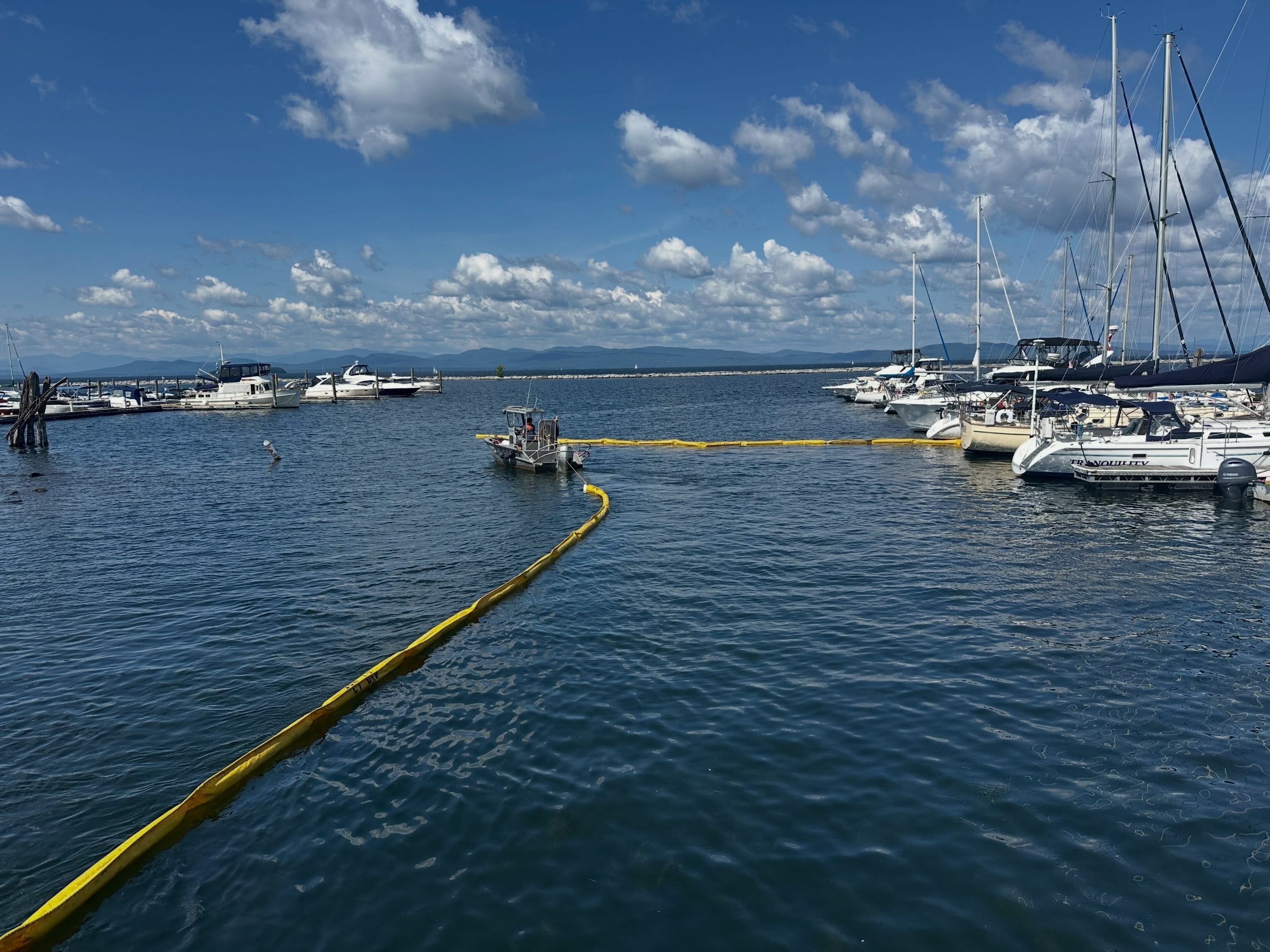
They didn’t finish. DEC says the hazmat team — several of whom are DEC staff — was dispatched to Burlington harbor, where a sunken boat was reported to be leaking fuel. Burlington firefighters were already there laying boom: long floating barriers, chained end to end and anchored, that fence a slick in so it can’t spread and so it can be pumped or soaked up. The state crew added more of it, the vessel was pulled out, and the equipment was recovered. DEC says the release was small and the impacts minimal, and that all of it was done before lunch.
That is a good morning’s work, and DEC posted it as such.
Here is what the agency’s own files add to it: the plan they went to Vergennes to test carries no record of ever having been tested. Neither does any other plan in the set.
The Plans, and the Blank Field
Vermont has 29 of these documents. They’re called Geographic Response Strategies, they’re posted publicly on DEC’s website, and each one covers a specific stretch of water.
A packet is short and deliberately plain, because it’s written for whoever shows up. The Otter Creek one — the packet being drilled in Vergennes — covers three spots: the Fort Cassin boat ramp near the mouth, the Rivers Edge ramp, and Vergennes Falls. At the first two, the plan is to run 600 feet of barrier out at an angle across the current, so the current itself pushes the oil toward one point on the bank where a pump can lift it out. Two boats, four people, a morning’s work.
Each packet also lists what’s downstream worth protecting — fish, birds, rare species habitat, archaeological sites, boat ramps, parks, beaches — and a page of numbers to call, including DEC’s 24-hour line and the National Response Center.
And every move in every packet has a field for whether it has ever been tried in the water, and a field for the date it was tried.
Across all 29 packets, not one of those fields carries a date. There is no Y anywhere in the set. The Lake Champlain packets are dated September 2022. The Connecticut River packets are dated November 2021.
On the record, then, the Vergennes exercise was not routine upkeep on a proven plan. It was the first documented attempt to put those particular lines in that particular river and find out whether the drawing survives contact with a current — and it got cut short by the thing the drawing was made for.
What Burlington’s Plan Is Protecting
The packet that covers the harbor where the crew ended up is the largest on the lake.
It splits the waterfront into two areas, with eight separate moves between them.
Together they call for about 8,400 feet of barrier — a mile and a half of it — and 56 anchors to hold it in place.
What the plan is protecting, in its own list: a water intake, public beaches, parks, and critical infrastructure.
The Champlain Water District’s 24/7 number is on the contact page beside the state and federal lines.
Champlain Water District draws from the lake and supplies a large share of Chittenden County. In plain terms, if oil gets loose off Burlington, the plan’s first instinct is to keep it away from where the county’s tap water comes in.
The southern half of the Burlington packet notes two things sitting right on that shoreline: the Global Partners fuel terminal, and the Pine Street Canal Superfund site immediately east of the rail line. Shelburne’s packet, next down the lake, guards the same drinking water from the other direction, at the mouths of Potash Brook and the LaPlatte.
Where the Packets Stop
All 29 sit in two places. Fifteen cover Lake Champlain, from the Missisquoi and Alburgh in the north down to Mount Independence in Orwell. Fourteen cover the Connecticut River from Bloomfield to Brattleboro — and every one of those carries a New Hampshire file number and lists agencies from both states, because they were written jointly for both banks.
Where a tributary is covered, it’s covered at the bottom. The Lamoille has two packets, at the Milton dams and at its delta by Sandbar State Park. The Missisquoi has plans at Swanton and at its mouth. Go upstream from those points and the maps run out.
DEC describes the program’s scope as navigable waterways and select tributaries, so that’s a design choice rather than a gap someone forgot to fill. But it does mean that across most of Vermont’s river miles, there’s no map and no plan — whoever is in charge that day works it out on arrival, which on Aug. 11 is roughly what happened anyway.
One Number Nobody Has Published
Added up, the 29 packets call for a little over 65,000 feet of floating barrier. Twelve miles of it. The Lake Champlain packets alone account for about 7.6 miles of it.
No packet says where any of it is kept, or how much of it the state owns.