

18 Inches of Hype: Why Vermont Skiers Are Getting Wind, Not Powder, This Week
According to the NWS ensemble models, there is a zero percent chance of Stowe receiving even half of the lowest amount predicted in the Powder Magazine article.

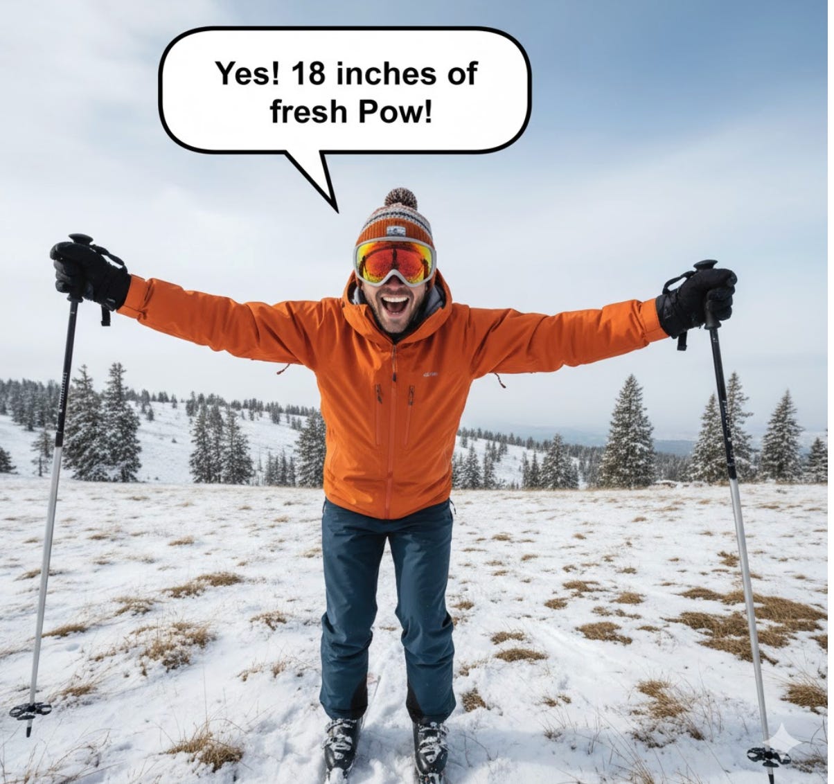
A forecast published by Powder Magazine predicting 18 inches of snow for the Northeast this week has grabbed the attention of skiers across New England. The article, citing the “Powderchasers” forecast, specifically projected “12–17 inches” for resorts like Stowe and Jay Peak.
However, a detailed analysis of primary data and technical discussions from the National Weather Service (NWS) tells a very different story. The dominant weather events for Vermont this week will not be a major snowstorm, but rather a significant Arctic cold snap and a high-wind event, accompanied by only light, localized snow.
Here is a breakdown of the forecast and what Vermont residents can actually expect.
The “18-Inch” Claim vs. NWS Data
The central discrepancy comes from two different forecasting approaches. The Powderchasers article presents a “deterministic” forecast—a single, specific outcome. In contrast, the National Weather Service relies on “probabilistic” forecasting, which runs dozens of computer models to determine a range of possibilities and the likelihood of each.
The NWS probabilistic data directly contradicts the Powderchasers claim.
For Stowe, Vermont—a location Powderchasers claimed would see “12–17 inches”—the official NWS probabilistic forecast (as of November 10) shows:
Expected Amount: 2 inches
Chance of seeing more than 4 inches: 3%
Chance of seeing more than 6 inches: 0%
According to the NWS ensemble models, there is a zero percent chance of Stowe receiving even half of the lowest amount predicted in the Powder Magazine article.
For Jay Peak, which is uniquely positioned to receive “upslope” snow, the NWS Burlington forecast is more optimistic, calling for a potential high-end total of 6 to 9 inches on the summit by Thursday. This is still only half of the “12-17 inches” claimed.
Why the Discrepancy? A “Moisture-Starved” System
Both forecasts correctly identified the governing weather pattern: a “cold northwest flow.” This pattern is classic for pulling cold, Arctic air into New England.
However, the analysis shows the Powderchasers forecast missed a critical ingredient: moisture.
The NWS technical discussion repeatedly notes that “drier air is filtering in” with the cold. This is not a coastal storm or a moisture-laden system. It is an “early-season outbreak of winter-like air” originating from the dry Canadian Arctic.
Without significant moisture, the system simply cannot produce widespread, heavy snow. The snow that does fall will be generated by “orographic lift”—or upslope snow—as the wind is forced up the western-facing slopes of the Green Mountains, generating light, fluffy showers in very localized areas.
The Real Weather Story: High Winds and Arctic Cold
The true, high-impact weather stories for Vermont this week are the wind and the cold.
Extreme Cold: NWS forecasts for mountain summits show temperatures struggling to get out of the teens, with overnight lows in the single digits.
High Winds: The NWS Gray, ME office warns of “Gales” peaking Tuesday and Wednesday. Recreational forecasts for the higher summits call for west winds of 25 to 35 mph with gusts up to 65 mph.
This combination will create hazardous wind chills. For skiers, these winds would also transport any light snow that falls, “scouring” it off exposed trails and creating “wind slabs”—not the skiable powder many were hoping for.
The Resort Reality Check: Snow Guns Are the Story
Perhaps the most practical part of the analysis is the operational status of the ski resorts themselves.
Stowe Mountain Resort is not open. Its target opening date is Saturday, November 22.
Jay Peak Resort is not open. Its target opening date is Friday, November 28.
Mount Snow is not open. Its target opening date is November 22.
Even if the 18-inch forecast were correct, no skiers would be able to access the terrain.
The real story for the resorts is snowmaking. The blast of Arctic air is exactly what resort operations teams have been waiting for. Stowe’s own snow report states the “snowmaking team will be gearing up for a big push starting on Monday night.”
This cold snap is the critical event that allows ski areas to “fire up the snow guns” and build the durable base needed for their scheduled opening days.
What Happens Next
The cold, windy, and blustery conditions will persist through mid-week. The light upslope snow showers, primarily impacting the northern Green Mountain summits, are expected to wind down by Thursday.
According to the NWS Area Forecast Discussion, “no significant weather is expected through the end of the week and into next weekend” as the pattern breaks down.
For Vermont’s skiers, the “next step” is not to chase this “phantom powder,” but to watch for resort announcements. The significant, sustained cold is the real good news, as it signals the official start of the snowmaking season and the building of a solid base for the 2025-2026 season.